
Gardner ZIP Coverage
The postal material reviewed for Gardner directly confirms one city ZIP: 01440. It places the Gardner Post Office at 69 Pleasant Street. Other numbers appear in a Gardner-related processing-label sequence, but that sequence is not a municipal-boundary map. The table keeps the difference visible: 01440 is the usable city starting point, while the other rows are leads that need an address-level postal result and a municipal parcel check.
| ZIP | Areas Covered | Post Office | Notes |
|---|---|---|---|
| 01440 | Gardner in the directly inspected USPS context | Gardner Post Office, 69 Pleasant Street | Principal confirmed Gardner ZIP; check a specific address before drawing an occupancy conclusion. |
| 01441 | Gardner-related postal-processing lead | Not established as a Gardner city post office | Use only after USPS returns the address and a municipal parcel record confirms the location. |
| 01436 / Baldwinville | Nearby postal locality in the same label sequence | Not established as Gardner | Exact overlap with Gardner parcels was not confirmed in an official static source. |
| 01473 / Westminster | Nearby postal locality in the same label sequence | Not established as Gardner | A Westminster postal label does not establish a Gardner municipal address. |
| 01452 / Leominster; 01475 / Shirley | Processing-label entries only | Not established as Gardner | Exclude from a Gardner list unless an address-specific official source proves the connection. |
This postal listing therefore does not present a broad list of city ZIPs. It separates what the official postal context supports from nearby labels that may appear in regional processing material. A delivery label can be useful for mail, yet it cannot settle a parcel or city-limit question by itself.
Gardner ZIP 01440
01440 is the principal Gardner ZIP code identified in the official material. Begin with an individual street address, including any unit, rather than assuming that every place associated with the number lies inside the city. The postal response standardizes delivery information. It does not verify an owner, an occupant, or a company at the address. Preserve both the address entered and the returned format when later records use a different abbreviation or unit style.
The USPS ZIP Code Lookup is the first address-normalization step.
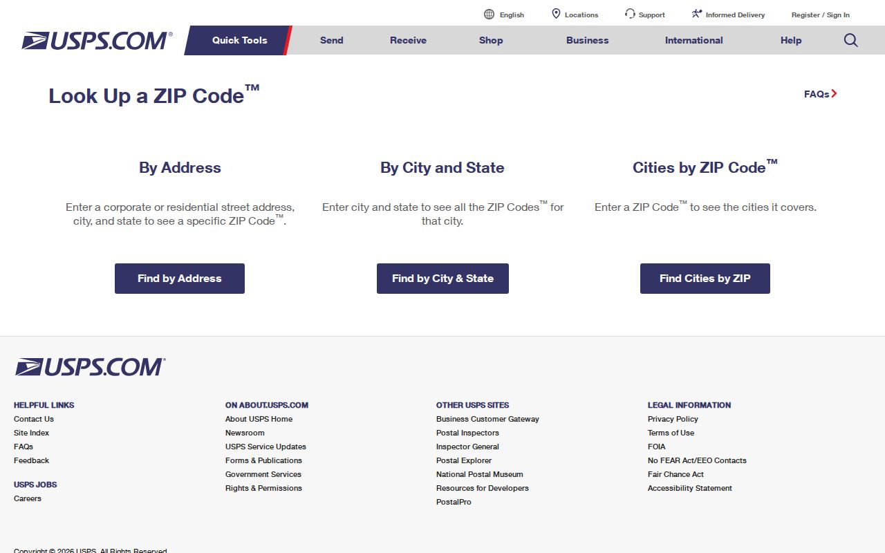
Its address, city-and-state, and city-by-ZIP modes help distinguish a formatted mailing result from a municipal or parcel conclusion.
Note: Repeat the address-level lookup for every boundary address because the inspected dynamic city-and-state result was not stable enough to confirm another Gardner city ZIP.
Gardner ZIP Postal Leads
Nearby codes belong in a research note, not a claimed Gardner directory area. 01441 appeared in the postal label sequence, while nonofficial references associate it with a corporate or Westminster context. Baldwinville, Westminster, Leominster, and Shirley likewise appear as nearby postal localities or labels without a confirmed static showing that they are Gardner city ZIPs. A boundary check needs the postal result for the actual address and the parcel location.
Mailing and establishment addresses can also differ. Gardner permit material documents address ranges and distinguishes mailing addresses from an establishment address. That is why a postal label should not be substituted for the address recorded on a property card or municipal file.
Gardner USPS Lookup Fields
USPS provides more than one way to test postal format. Address mode is the better choice when a complete street address is known. City-and-state and cities-by-ZIP modes are broader checks, but the research did not treat their dynamic output as a reliable municipal boundary list. The fields below reflect the inspected address interface and show why a ZIP is part of the result, not a replacement for a full address.
| Field | Type | Required | Notes |
|---|---|---|---|
| Company | Text | No | Optional delivery addressee detail. |
| Street address | Text | Yes | Use the address as known, then retain the returned standardized form. |
| Apartment, suite, or other | Text | No | Keep unit information separate when present. |
| City and state | Text/selectors | Address mode | Used with the street address to locate a delivery result. |
| ZIP | Five-digit text | Varies by mode | Can support a ZIP-to-city query but does not prove municipal limits. |
That field structure makes the postal tool an address normalizer. It is not a person, business, owner, or parcel search.
Find Gardner by ZIP
A ZIP code can narrow an individual voter-status check, but it is not a citywide resident filter. The Massachusetts portal asks for an identity set, not merely a number. Local public voter lists have a different access route through the election office, and protected fields remain nonpublic. Start with a real record question and use the smallest lawful set of details needed to check it.
- Use USPS to standardize the street address and retain the returned city, state, and ZIP format.
- For an individual registration-status check, enter the registration name, date of birth, five-digit ZIP, and agreement on the Massachusetts portal.
- For a dated local voter list, contact the Gardner City Clerk and identify the year, ward or precinct, street order, and fields needed.
- When the ZIP points to a particular street, use the Gardner by-street directory for the address-keyed record trail.
The Massachusetts voter registration search illustrates the required identity inputs.

The displayed form uses first name, last name, date-of-birth selectors, a five-digit ZIP, and an agreement checkbox, so it should not be treated as a name-only directory.
| Portal field | Type | Required | Format or limit |
|---|---|---|---|
| First name | Text | Yes | Use the registration name. |
| Last name | Text | Yes | Use the registration name. |
| Date of birth | Month, day, and year selectors | Yes | Part of the individual-status identity check. |
| ZIP | Five-digit text | Yes | Search tips say a prior ZIP can help after a move. |
| Agreement | Checkbox | Yes | Required before search controls are used. |
Gardner ZIP Parcel Keys
ZIP is not the parcel key used by Gardner property tools. The Gardner VGSI assessor portal accepts street or address, owner name, and map-block-lot. It shows current FY2026 material and property-card links. A map-block-lot identifies an assessment record; it does not turn a postal number into proof of title or current presence at the property.
The Gardner VGSI portal shows the property-search keys used after a postal address has been normalized.
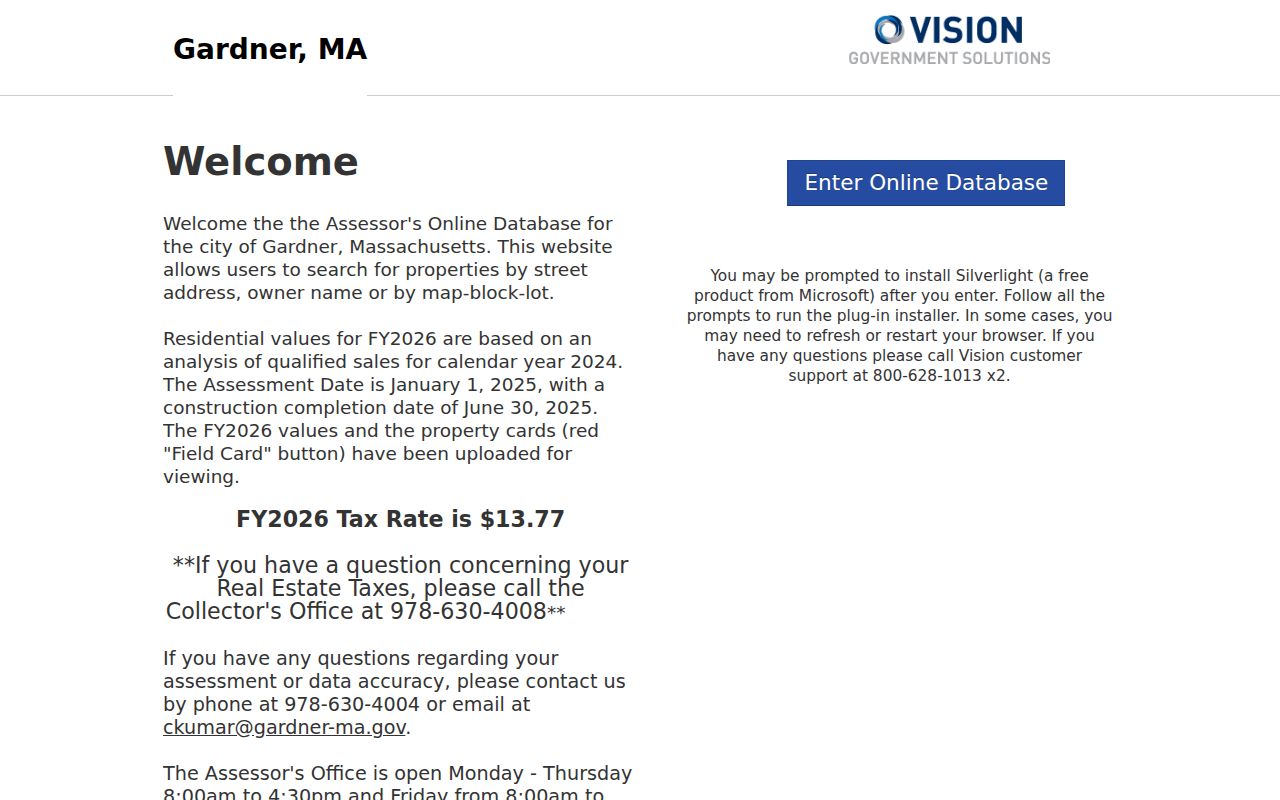
Its owner, address, and map-block-lot options demonstrate why parcel research must continue with a property identifier rather than a ZIP-only query.
For a current or complete card, the Gardner City Assessor is the documented request route. Ask for the record date and retain its distinction from the postal result.
- ZIP
- A postal delivery code tied to address normalization, not a city-boundary or parcel record.
- ZIP+4
- An added delivery segment used with a five-digit ZIP for more precise mail sorting.
- PO-box ZIP
- A code used for post-office-box delivery, which does not establish a street location.
- Unique ZIP
- A ZIP assigned to one organization or destination; none was established for Gardner in the researched material.
- Carrier route
- A postal delivery grouping that is not a municipal district or a list of people.
Gardner ZIP Map Check
Once USPS returns a postal format, use the Gardner GIS map gallery or the MassGIS Interactive Property Map to inspect the parcel location. Both are useful representations of parcel geography. The city says its public parcel-viewer data were last updated July 1, 2024 and warns that the map is not a legal survey or recorded boundary.
The Gardner GIS map gallery is the municipal entry point for parcel layers and map tools.
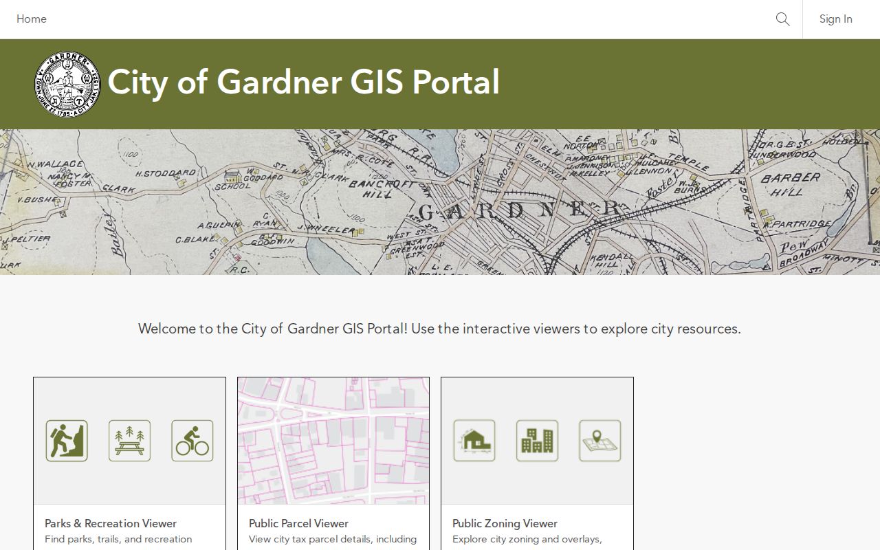
Map layers can help locate a parcel after the postal check, while a Registry record or legal survey remains the source for title or boundary conclusions.
Gardner ZIP Boundaries
City limits, postal areas, and parcel boundaries are separate systems. A nearby locality may share a processing relationship without becoming Gardner, and a postal result can still need a parcel review. For a legal title question, consult the Worcester Registry of Deeds, which serves Gardner through the Worcester District. The Registry can confirm a recorded title trail, not a delivery zone.
This distinction is the practical answer to the common postal-boundary myth: a Gardner ZIP can be a useful starting point, but the mailing label alone cannot decide whether a place is inside the municipality. Keep the source date and the record type with each result.
Note: For a disputed line, a map image is informational evidence only; a recorded legal description or survey controls the boundary analysis.
Gardner ZIP Date Check
Postal and parcel information needs a date. Gardner’s public GIS page gives a July 1, 2024 parcel-map update, while the statewide MassGIS page was updated August 13, 2026 and identifies Gardner in its May 2026 parcel batch. Those dates describe source refreshes, not a promise that every field is current. Recheck USPS and the municipal map whenever an address sits near a postal or city boundary.
The postal listing is strongest when its result remains labeled as postal, parcel, title, or voter information instead of being flattened into a single claim about an address.