
Search a Gardner Street Directory
A street search works best as a short record trail, not as a claim about everyone at an address. Start with the delivery form of the address, then capture the parcel identifier and published owner field. The Registry can anchor transfers in time. A Gardner Street List or other dated local-list material can add civic context, and historical directories may add an older household observation. Each source answers a different question, so keep the date and source type with every note.
- Normalize the address first, including any unit, directional word, and street suffix.
- Search the Gardner assessor record by address and record the owner spelling and map-block-lot.
- Use the Worcester deed index to read the current instrument and follow its prior-deed reference.
- Use a dated Gardner Street List only as local-list context, noting its year and any redactions.
- Check historical directory material by year when the question is about an earlier household rather than a current parcel field.
That order reduces false matches. It also separates three facts that are often confused: a mailing field, a title trail, and evidence that someone was listed at a location in a particular year.
Normalize Gardner Street Addresses
Begin with the USPS ZIP Code Lookup. Its address mode takes the street address, unit information when applicable, city, state, and ZIP. Save both the supplied address and the standardized result. USPS warns that a ZIP result does not establish that a person or company is at the address, but the standardized form helps avoid a missed parcel or deed search caused by an abbreviation or unit mismatch.
Gardner records do not all use the same key. VGSI accepts an address, owner name, or map-block-lot. The GIS tools locate geometry and layers. Registry records may use a property description, town, party name, book and page, or document number. A street range in permit material can also be broader than one parcel. Do not collapse those different identifiers into one assumed match.
Note: Keep a unit number separate from the base street address when the records show both, because a multi-unit property may have one parcel and several address references.
Gardner Street Directory Parcel Keys
The Gardner VGSI assessor portal is the practical current-property starting point when searching by address. Its public fields support address or street-address, owner-name, and map-block-lot searching. A result can lead to property-card and field-card controls, assessment values, map display, parcel detail, and the published owner or mailing information. The portal describes current FY2026 material, while the City directs requests for a current or complete card to the Assessor.
| VGSI field | Input or result | Why it matters by address |
|---|---|---|
| Address / street address | Street and number | Finds a parcel from the normalized situs address. |
| Owner Name | Published owner name | Supplies a party-name spelling for the deed index. |
| Map-Block-Lot | Parcel key | Helps distinguish similar street numbers and map locations. |
| Field Card / property card | Parcel detail | Shows the assessment record behind the search result. |
The VGSI Gardner property search is shown below with its owner, address, and map-block-lot search paths. A hit is a lead, not a finished ownership history.
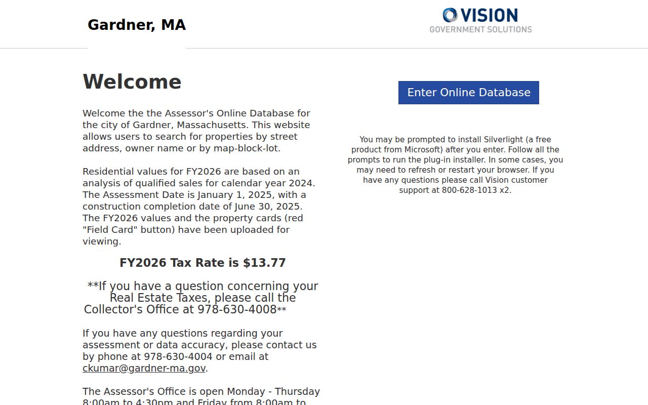
Read the parcel card with its fiscal-year context, then compare the title description in the recorded deed before treating an owner field as a current title conclusion.
Read Gardner Assessor Cards Carefully
An assessment record and a Registry deed are useful together because they do different work. Gardner's archived property-location vocabulary includes Location, Map, Block, Lot, Unit, Owner's Name, Area, Land Value, Building Value, and Total Value. The current portal also presents property characteristics and the fiscal-year assessment context. Those fields help identify the parcel being discussed, but an assessed owner field may lag a transfer or use a mailing address that differs from the property location.
A recorded instrument is the better source for a legal transfer. The deed image can contain the legal description, prior instrument reference, recording date, and document type. Plans, mortgages, releases, easements, certificates, and probate instruments should be kept separate from deeds. They may explain a parcel or burden on it without establishing the same thing as a transfer.
- Parcel
- A mapped piece of property identified in the assessor system, often by map-block-lot.
- Situs address
- The property location used for the parcel record, which may differ from a mailing address.
- Legal description
- The deed language that identifies land through boundaries, lots, or other recorded references.
- Criss-cross directory
- An address-arranged directory that can place a dated household or business entry at a street location.
Gardner GIS Maps and Map Limits
The Gardner GIS map gallery supports address or place searching, parcel clicks, layers, and tools such as Find Abutters, Measure, Print, Share, and Coordinates. It is useful for locating a parcel along a street and checking whether adjacent geometry helps explain a lot line or address range. The City says its public parcel-viewer data were last updated July 1, 2024, and layer dates can differ.
The Gardner GIS map gallery entry provides the city map route used for parcel discovery.
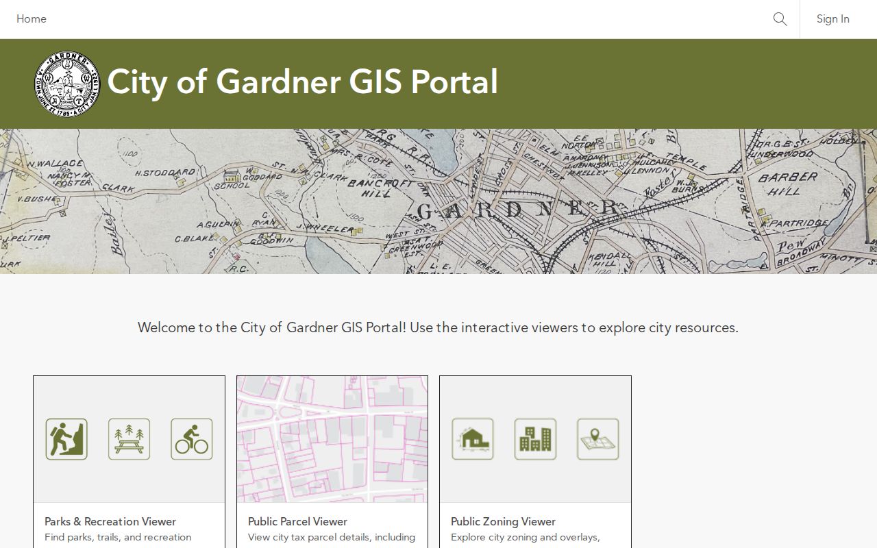
Use a parcel click to collect a map identifier, then confirm the property trail through the assessor card and Registry rather than assuming the map alone settles title.
The City’s GIS information page states the map-data warning directly: GIS is informational, not a land survey or a legally recorded boundary.
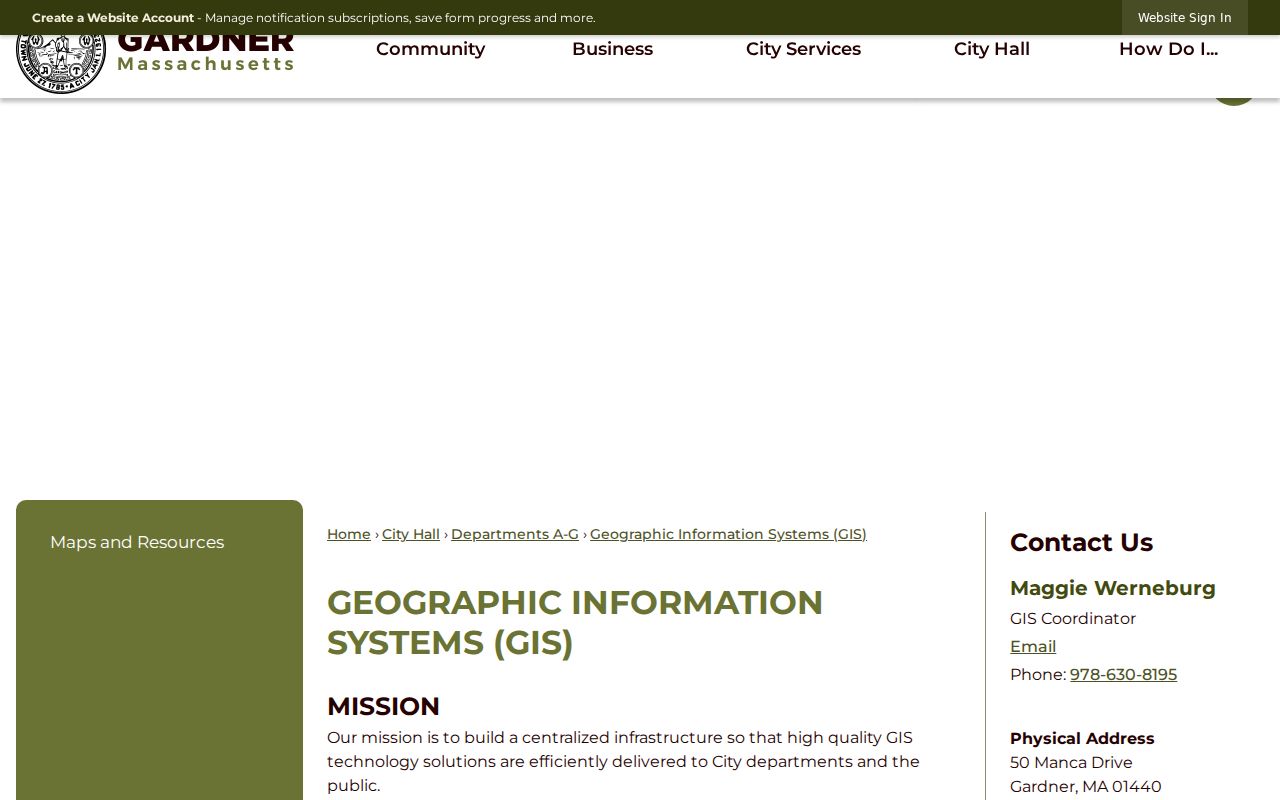
That warning matters for address work. A visual parcel edge can guide a search, but a recorded deed and survey evidence control when the question is ownership or a boundary.
Address Records Across Gardner
Several Gardner records can be searched by street, but none is a live roster of every household. The assessor and GIS tools are parcel-focused. Deeds document recorded parties and transfers. Street Lists are dated civic material, and historical directories are dated publications. Use the type of record that matches the question, then preserve its limits in the result.
| Address record | Custodian | What it can show | Access route |
|---|---|---|---|
| Property card and assessment | Gardner Assessor | Parcel location, published owner field, map-block-lot, and value fields | VGSI portal or Assessor contact |
| Parcel map | Gardner GIS | Parcel geometry, map layers, and map identifiers | City ArcGIS gallery |
| Recorded land | Worcester District Registry | Parties, recording date, book/page or document number, and image | Recorded Land index and Registry office |
| Gardner Street List | City Clerk / Registrars | Dated civic-list context, subject to public-field limits | Linked yearly list or local request |
| Historic directory | State Library and local history access | Dated household, address, and printed-entry clues | Collection or research-room inquiry |
For a record not exposed in a portal, the Gardner City Clerk is the municipal starting point for Street Lists and record-routing questions. The Massachusetts public-records framework, MGL c. 66 with MGL c. 4, §7(26), allows electronic, mail, and in-person requests. A narrow request should state the record type, date range, street or parcel key, and desired electronic format.
Gardner Street Directory Deed Trail
For Gardner property, use the Worcester District Registry Recorded Land index, not Worcester North. The Registry holds records from 1731 to the present. Its instructions say post-January 1, 1960 material is fully indexed with index and image access. Start a narrow search with the town, property description or address, party role, document type, and date where known. Read the image, not only the index row, and copy the prior-instrument reference before moving back another link.
- Use the map-block-lot and situs address to locate the current parcel record.
- Find the recorded deed by property and town, then verify the parties and instrument type.
- Read the legal description and prior deed reference in the image.
- Search the earlier party and reference, keeping deeds separate from related plans or releases.
For a transfer before 1960, move to the scanned grantor and grantee index, take the book and page, and use Unindexed Property Search for the image. The supplemental surveyor indices reach 1731–1973. That manual step is slower, but it prevents a false claim that an old deed is absent merely because it is not in the modern-name search.
Gardner Street Lists by Date
Gardner's City Clerk and Board of Registrars maintain the local Street List process. The city links Street Lists from 2020 through 2025 as dated source containers. A line can preserve a name and address in the particular list year, but it should not be converted into a present-tense residence statement. Record the list year, ward or precinct when present, street order, and any redaction or protected-field notice.
The statewide individual voter search is not a citywide name directory. It requires first name, last name, date of birth, five-digit ZIP, and an agreement. Local public voter-file rules also protect phone, email, confidential-voter information, minor records, veteran status, and permanent-absentee status. Do not combine a voter record with an assessor owner or a deed party unless the identifying facts genuinely line up.
Note: A dated civic list can support a dated observation, while the more specific privacy rules still determine which fields should be withheld or minimized.
Gardner Address Ranges and Units
Gardner's electronic-permit guidance recognizes property-owner, street-name, and address-range searching, including ranges such as 28–60 Pearson Boulevard. It also distinguishes mailing and establishment addresses. A permit-related result therefore needs a parcel check before it is treated as a match to a single street number. The same caution applies to multi-unit properties, which can share a parcel but have different unit references.
When a street result is unclear, keep the input address, normalized address, parcel key, and record date in separate fields. This simple habit makes it possible to see whether the mismatch is a range, unit, mailing address, parcel merge, or an older form of the street name.
Gardner Street History on Sanborn Maps
A printed directory entry can show who or what was recorded at an address, while Sanborn maps can add the older built setting. The State Library holdings list Gardner map dates for March 1889, April 1895, December 1900, April 1905, November 1909, August 1914, October 1923, January 1932, and a January 1932–October 1940 run. These maps are suited to streets, buildings, businesses, and industrial context, not to proving private occupancy from a footprint.
Compare a dated directory entry to the relevant map year and then to the legal parcel trail. Gardner's furniture-city history can make factory and commercial corridors easier to recognize in old material, but an address should be cited only where the inspected record actually prints it.
Use a Gardner Street Directory Safely
Street research has clear limits. A property owner may not live on the parcel. A map does not show a relationship between nearby people, and an old directory entry is not a current-residence claim. Protected-address indicators, confidential voter information, sealed court records, and restricted vital records must not be reverse-engineered through a mixture of other sources.
Accuracy needs the same restraint. State the record type and date, distinguish owner from occupant, and return to the responsible office if a public result needs correction or a protected field appears.
Resolve a Gardner Street Directory Mismatch
Use the office that holds the missing piece. The Assessor can help with a current or complete property card. GIS can clarify the map source and parcel geometry. The Registry supplies the recorded title trail, and the Clerk can route a Street List or other municipal request. For an older printed household clue, ask the local-history staff for the specific year or shelf rather than assuming the collection has every edition.
A missing result is also evidence with limits. It can reflect a spelling variation, an unindexed early record, a street range, a changed parcel, a protected field, or a source that was never published online. The next search should respond to that gap, not turn it into a conclusion about a household.