
Gardner Block Record Sources
Several records can describe the lots around one Gardner address, but each says something different. GIS tools show parcel geometry. VGSI ties an address to assessment fields. The Registry supplies a recorded title trail. A local voter list has its own access and redaction rules. Civic institutions are useful referral points, not proof of a person’s membership or address. Treat the records as separate, dated observations rather than a roster of private occupants.
| Source | What It Shows About a Block | Access |
|---|---|---|
| Gardner GIS / ArcGIS | Parcel geometry, map layers, parcel clicks, and map tools such as Find Abutters where available. | Public map gallery; informational data only. |
| MassGIS Interactive Property Map | Statewide parcel display, selected-parcel details, and Find Abutters. | Public statewide map; representation, not a legal survey. |
| Gardner VGSI assessor portal | Address, owner-name, map-block-lot, assessment, and property-card fields. | Public portal; assessment information is a lead. |
| Worcester Registry of Deeds | Recorded transfers, legal descriptions, and prior-instrument references. | Online index and images, with a separate pre-1960 workflow. |
| Gardner City Clerk | Dated local voter-list access subject to public-field limits and redactions. | Request the list by year, ward or precinct, and desired public fields. |
Ownership, parcel proximity, and voting registration are not interchangeable. A nearby parcel may be vacant, commercial, multi-unit, or held by an absentee entity. A property owner may not be an occupant. These limits matter before anyone describes the people on a Gardner block as a personal network.
Gardner Parcel Geometry
Parcel adjacency is a geometry question. Begin at one standardized address, locate its parcel, and inspect the lots that share a boundary or sit beside it. Record the source, map date, starting parcel identifier, adjacent parcel identifier, and the visible common boundary or geometry. The research record should say that the map shows abutters or nearby parcels, not that it proves personal relationships or who lives there.
- Normalize the starting address with USPS, including unit or directional information where present.
- Open the Gardner GIS or MassGIS map and locate the parcel by address or place search.
- Use parcel clicks and an abutter-style tool to identify surrounding parcels, retaining each map source and date.
- Check a selected parcel in VGSI for its address, map-block-lot, and published assessment fields.
- When a title question matters, search the recorded instrument at the Worcester Registry before describing an ownership history.
The result is a limited parcel workflow. It can help readers understand the recorded block pattern without converting owner fields into an occupancy list. For a complete named-street record trail, use the Gardner by-street directory.
Gardner GIS Data Limits
The Gardner GIS information page says public parcel-viewer mapping data were last updated July 1, 2024. It also warns that the information is not guaranteed accurate, correct, or complete and is not a land survey or legally recorded boundary. That warning applies when a block appears simple on screen as much as it does for a disputed line.
The city’s GIS information page states the update date and its non-authoritative-data warning.
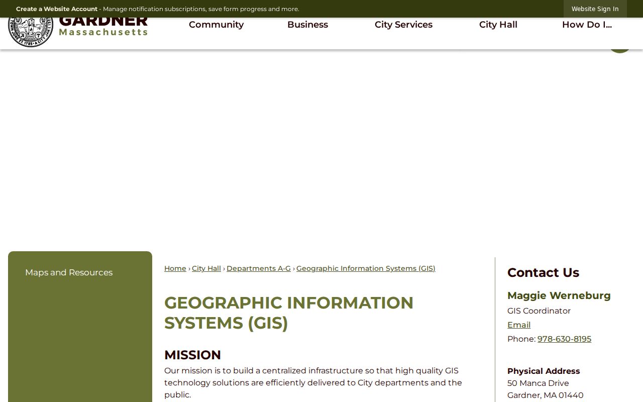
Use the viewer to discover a parcel pattern, then confirm title with recorded documents and boundaries with the appropriate legal source.
Gardner GIS Abutter Check
Gardner’s ArcGIS gallery is the city entry point for map layers and parcel tools. MassGIS supplies a second, statewide view with selected-parcel details and Find Abutters. Check both only as map sources, noting their dates and any difference in geometry or identifiers. If the displays disagree, the disagreement is a reason to consult the Assessor, GIS staff, or Registry records, not a reason to choose the result that looks more convenient.
The Gardner GIS map gallery is the starting point for the city’s public mapping tools.
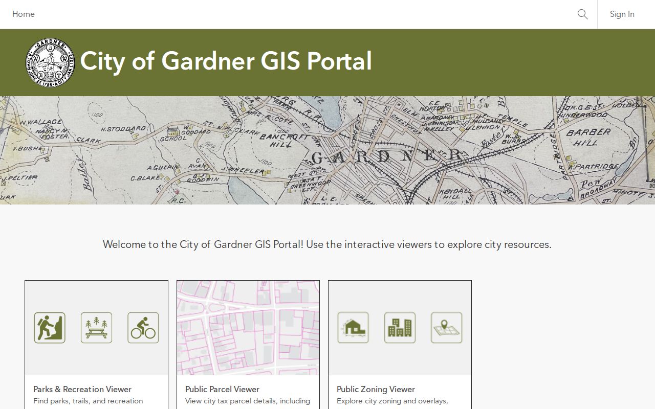
The map gallery supports discovery of surrounding parcels, while the recorded title and legal-survey questions remain outside the map display.
Gardner Property-Card Check
The Gardner VGSI assessor portal searches by street or address, owner name, and map-block-lot. Its current interface exposes property-card and field-card links, map display, assessment values, and parcel detail. Gardner’s property-card page directs requests for a current or complete card to the City Assessor. The portal’s FY2026 material is an assessment source, not a declaration of current occupancy.
The Gardner VGSI portal displays the three public keys used to move from an address to a property record.
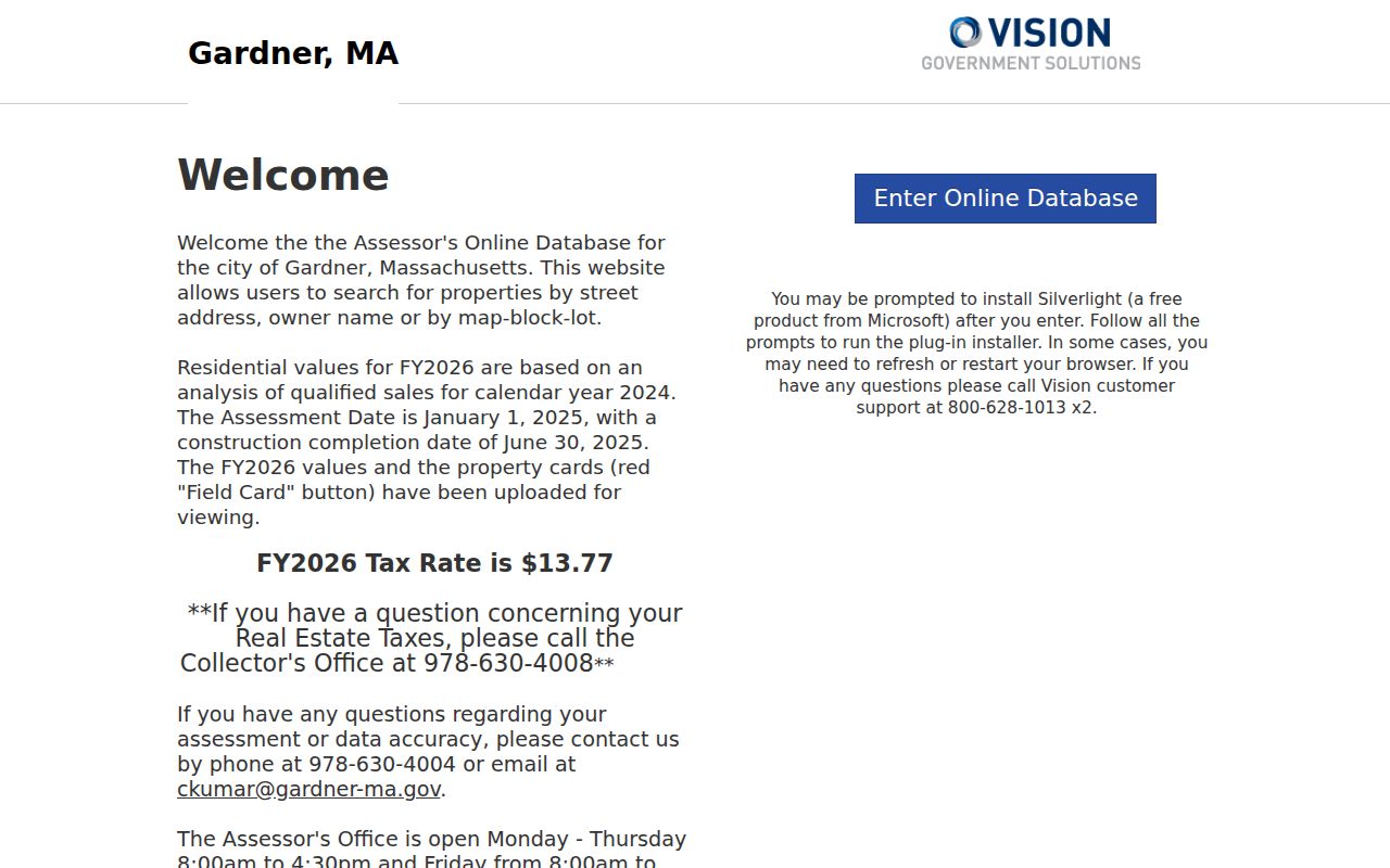
Capture the property or situs address, map-block-lot, fiscal year, and source date before comparing it with an adjacent parcel or a Registry record.
Gardner Recorded Title Check
A parcel hit is a lead, not a title opinion. Gardner is served by the Worcester District Registry of Deeds, whose records run from 1731 to the present. Records after January 1, 1960 are fully indexed by index and image. For earlier material, begin with the scanned grantor or grantee indexes, obtain a book and page, and use the Unindexed Property Search for the image. That route can confirm a recorded transfer, legal description, or prior instrument.
Use the Worcester Registry of Deeds to search a property or town, party name, date, book and page, document number, plans, or pre-1960 indexes. The Registry result should be kept apart from a claim about who is present at the property. The same caution applies to a trust, estate, or entity named in an owner field.
Note: A nearby address can show parcel proximity, but title history is a separate source trail that must be read through recorded instruments.
Gardner Voter-List Limits
Massachusetts allows a local public voter list to contain fields such as name, address, party, date of birth, active or inactive status, and voter ID, with other public fields that can include elections voted, previous changes, mailing address, and registration date. Phone, email, veteran status, permanent absentee status, confidential voter information, and records for minors are not public. The state access guidance controls those limits.
The state’s individual registration interface requires first name, last name, date of birth, a five-digit ZIP, and an agreement. It is not a block-wide search. For local material, ask the Gardner City Clerk for a dated list and specify the year, ward or precinct, street order, publication status, and public fields. Keep voter information distinct from parcel ownership or historic directory entries.
Gardner Civic Referrals
Research did not locate an official directory of neighborhood associations or any public membership roster for Gardner. That absence matters. Do not treat a civic group, event, polling place, or shared location as evidence that someone belongs to an organization. The contacts below are public institutions and organizations that can provide a responsible referral for local-history or community questions.
Levi Heywood Memorial Library
55 West Lynde Street, Gardner. Call 978-632-5298 for Local History Room access and information; the official listing gives its current posted hours.
Gardner Museum
28 Pearl Street, Gardner. The Museum’s Resource Room and research-request route are appropriate for a specific local-history question.
Greater Gardner Chamber of Commerce
The City’s public business-and-service organization listing identifies the Chamber as a regional civic and economic-development contact, not a resident roster.
Gardner Polish American Citizens Club
The public contact route lists 171 Kendall Pond Road West and 978-632-9729. No membership roster was located.
Square Two is also listed by the City as a downtown merchants, institutions, nonprofits, and citizens context. It is a referral contact, not a directory of local members. The library and museum are the better routes when a historical address question needs a dated source.
Gardner Postal Address Check
Normalize the starting address before comparing parcels. The USPS ZIP Code Lookup accepts a street address, city, state, and ZIP, with optional company and apartment or suite information. USPS warns that its result does not confirm a person or company at an address. Retain the original entry and standardized result separately, especially when unit numbers or street suffixes differ.
The USPS ZIP Code Lookup shows the address fields used to standardize the starting point for a Gardner block review.
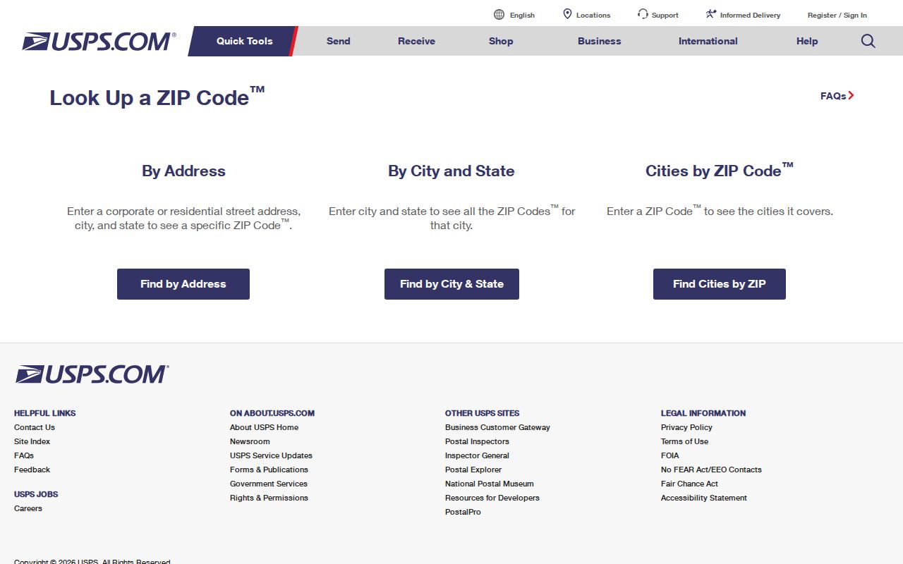
A postal result helps clean the address for map and property searches, but it never confirms an occupant or a relationship between surrounding parcels.
Gardner Block Source Comparison
Official sources identify the record being viewed and its limits. Commercial neighbor tools may combine old data, unnamed sources, and inferred associations, which makes a result hard to test. For block research, the safer choice is the source that shows its date, field type, and custodian. It also allows a correction or a direct request when a needed municipal record is missing.
| Source type | Useful for | Does not establish |
|---|---|---|
| Official parcel map | Geometry, parcel identifiers, and nearby lots | Legal boundary, occupancy, or a personal relationship |
| Assessor property card | Published assessment and parcel fields | Current title or who is present at the address |
| Recorded deed | Recorded transfer and legal-description trail | Current occupancy or social connection |
| Commercial neighbor category | A lead that needs independent checking | Reliable, current, or complete block facts |
The 2026 MassGIS refresh is a useful reminder to recheck map links and layer dates, not a guarantee that every Gardner field matches the latest municipal or Registry record.
Gardner Neighbors Privacy Limits
Do not publish or assemble a harvested list of private occupants, phone numbers, emails, family ties, or inferred relationships from a map. The Massachusetts Address Confidentiality Program protects eligible people through a substitute address and mail-forwarding process. Confidential voter information and protected-address indicators also require care. Do not try to derive an actual location from GIS, deeds, or another source when a record signals protection.
Massachusetts stalking and criminal-harassment provisions, MGL c. 265, §§43 and 43A, reinforce that limit. Protect the person, record the source date, and ask the proper custodian about a redaction or correction.